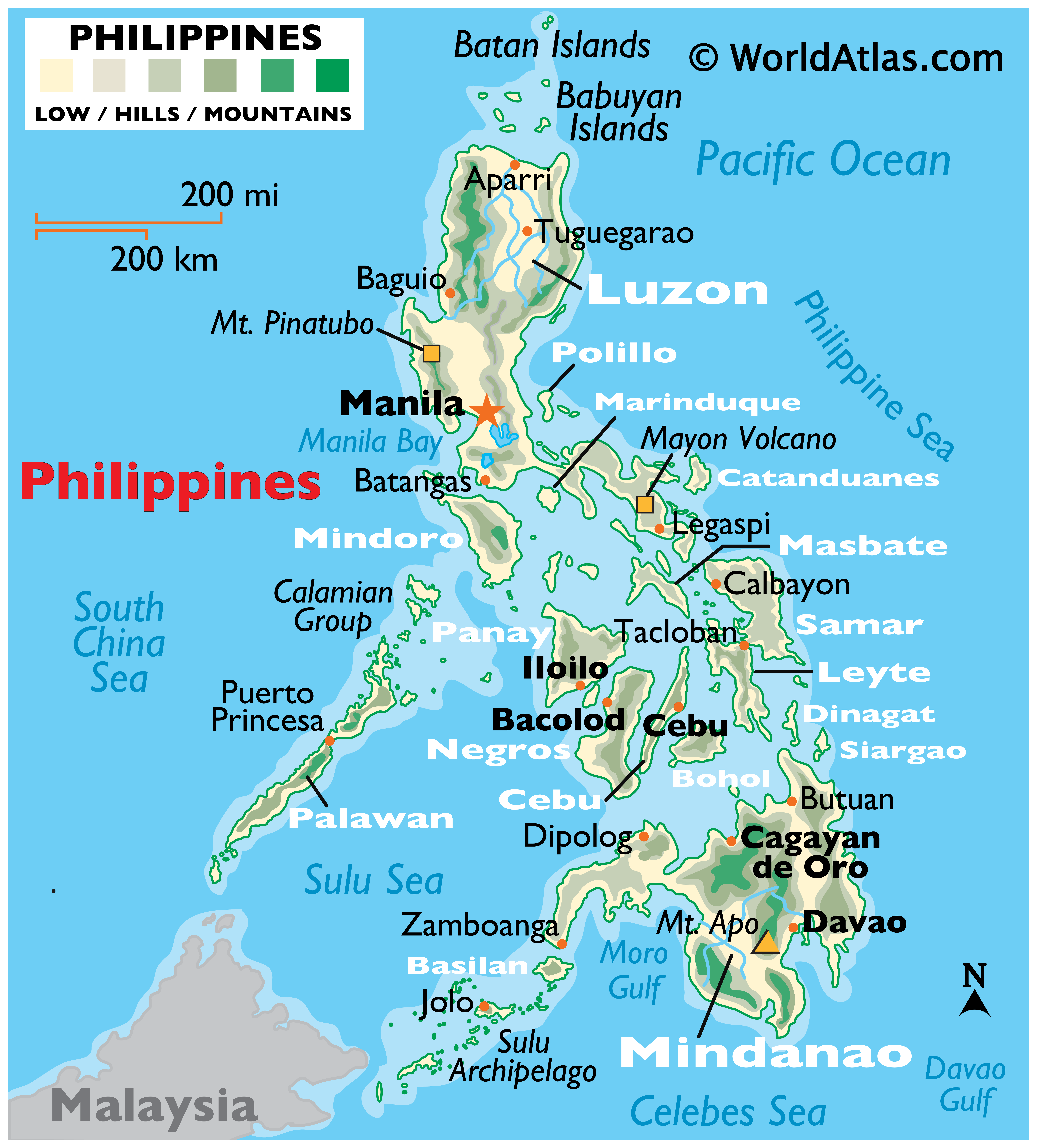
Map of LAOAG CITY, Ilocos Norte

The City of Laoag (Ilokano: Ciudad ti Laoag; Filipino: Lungsod ng Laoag) is a1st class city in the province of Ilocos Norte, Philippines. It is the capital city of Ilocos Norte, and the province's political, commercial, and industrial hub. It is the location of the Ilocos region's only commercial airport. The municipalities ofSan Nicolas, Paoay, Sarrat, Vintar, and Bacarra form its boundaries. The foothills of the Cordillera Central mountain range to the east, and the South China Sea to the west are its physical boundaries. Laoag experiences the prevailing monsoon climate of Northern Luzon, characterized by a dry season from November to April and a wet season from May to October, occasionally visited by powerful typhoons. According to the latest census, it had a population of 102,457 people in 19,751 households.
Below is a GOOGLE MAP. You have the option to view a PLAIN MAP, SATELLITE MAP OR HYBRID MAP. Drag the MAP with your mouse pointer to move around. Just ZOOM the MAP to see the details, up to 6X ZOOM. From World Maps to the Philippine Map. This MAP has a DAYLIGHT OVERLAY.
