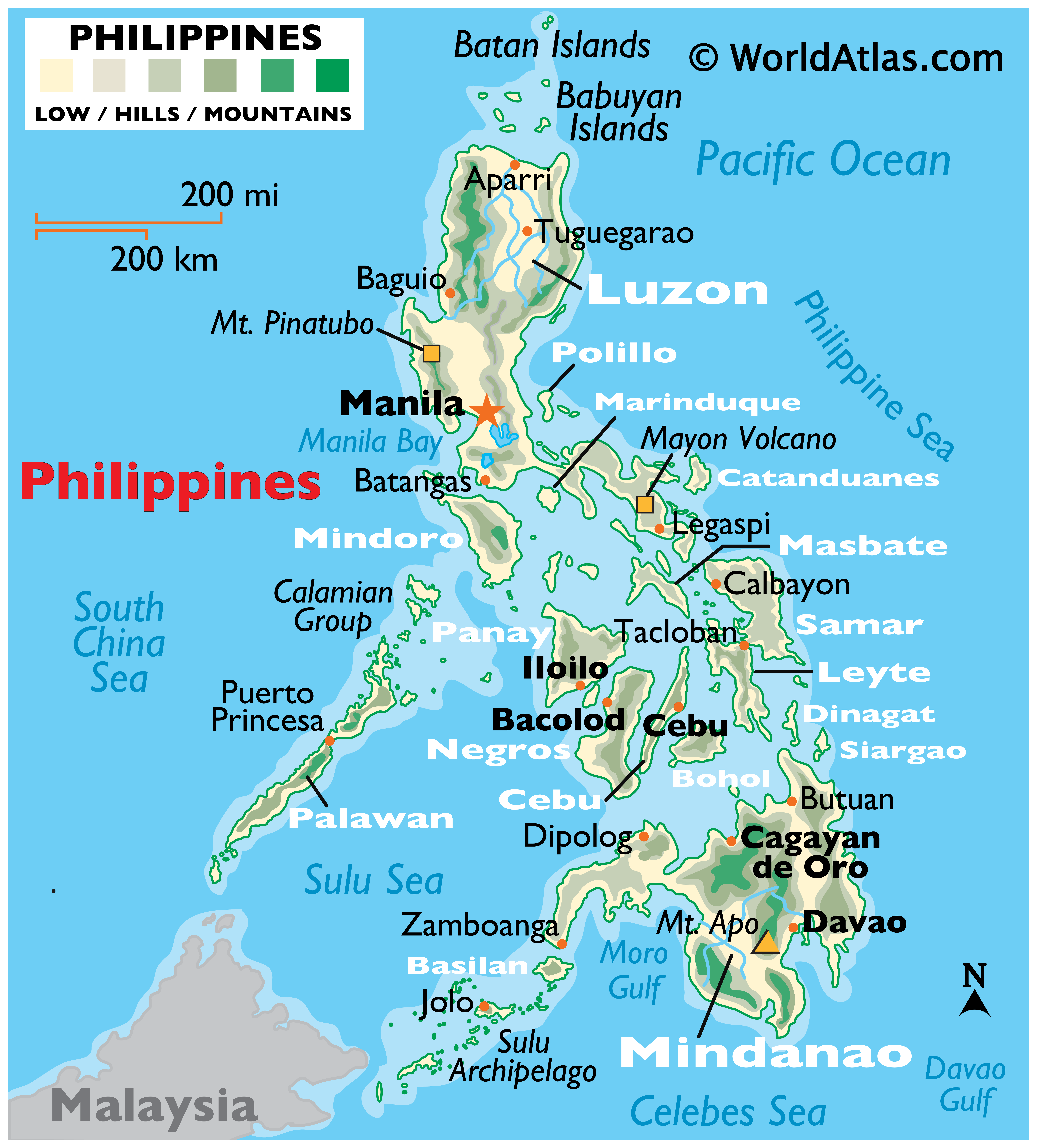
Map of FERNANDO CITY, La Union
The City of San Fernando (Ciudad ti San Fernando in Ilokano; Siyudad na Bacnotan in Pangasinan) in La Union is a 3rd class component city in the Philippines. It is the capital city of La Union and the regional center of the Ilocos Region (Region I). According to the latest Philippine census, it has a population of about 114,813 people in 24,139[1] households. San Fernando is the financial, industrial and political center of the province, engaged in agriculture, aquaculture, shipping using the port of San Fernando, and other industrial sectors. San Fernando belongs to the District 1 in La Union province.

Below is a GOOGLE MAP. You have the option to view a PLAIN MAP, SATELLITE MAP OR HYBRID MAP. Drag the MAP with your mouse pointer to move around. Just ZOOM the MAP to see the details, up to 6X ZOOM. From World Maps to the Philippine Map. This MAP has a DAYLIGHT OVERLAY.
